
The Contribution of Satellite SAR Observations for Geohazards and Disaster Assessment Mapping
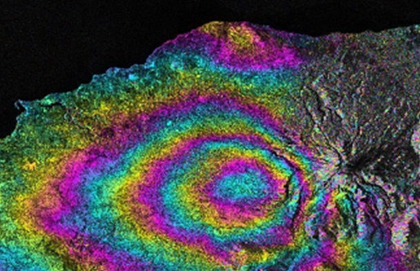
Overview on how SAR data contributes to Geohazards mapping and Damage Assessment Mapping, indicating some initiatives, software and platforms that help its exploitation by final users and decision makers

Dr. José Manuel Delgado Blasco
Geosaptial System Engineer at European Space Agency
José Manuel Delgado Blasco, holds a double Ph.D. diploma in Geoscience and Remote Sensing from Delft University of Technology (The Netherlands) and Dr of Science in Geography from KU Leuven (Belgium). He has extensive experience working in the Earth Observation domain, specialized in algorithm development/parallelisation, processing platforms, AI, advanced InSAR applications, data fusion and algorithm optimization. Currently works as Geospatial System Engineer in the ESA Φ-lab Invest Office within the EO Commercialisation programme helping companies developing sustainable EO solutions.