Advanced Raster Analytics and AI Algorithms for GIS & Remote Sensing Hands-on Workshop

About Advanced Raster Analytics and AI Algorithms for GIS & Remote Sensing Hands-on Workshop

Join and unlock the power of Python for GIS & Remote Sensing Analytics! You'll master techniques like analysing raster data, extracting terrain data from DEMs, reducing noise from satellite imagery, and leveraging AI to extract land cover features. We'll guide you through using top-notch Python libraries such as Numpy, Rasterio, RichDEM, XArray, and Scikit-eo. Sign up now and take the first step towards becoming an expert!

Workshop Level: Beginner - Intermidiate

Highlights

  1. Python essentials: Focus solely on the essentials needed for raster analysis. No overwhelming or unrelated computer science concepts.
  2. Connecting Python to Raster Data: Gain a deep understanding of how raster data is structured in Python by mastering two-dimensional arrays with the Numpy package.
  3. Mastering Raster Packages: Learn to effectively use powerful packages like Rasterio, RichDEM, XArray, and Scikit-eo for your raster analytics projects.
  4. Raster analysis: Implement two key examples: extract slope and aspect values from DEM raster, generate median composites to eliminate clouds and shadow noise in imagery.
  5. Exploring Machine Learning Algorithms: Dive into advanced techniques to extract land cover features using cutting-edge machine learning algorithms.

Workshop fees: 525 AED (VAT Inclusive)

Limited seats available

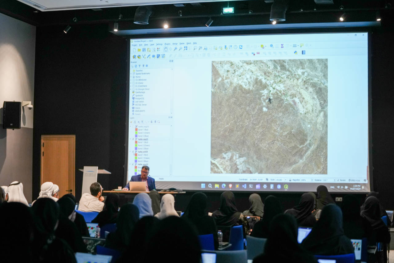
Dr. Ahmad Omar Aburizaiza

Senior GIS Regional Lead & Solutions Engineer at JLL

Ahmad is currently a senior GIS Regional Lead & Solutions Engineer at JLL. He holds three US degrees: a B.S. in Computer Science, a masters in Geographic Information Science, and a PhD in Geoinformation Sciences. He has a profound expertise in geospatial technologies, programming, data wrangling/engineering/visualization, academic teaching, and corporate training. He is continuously learning new skills related to cloud computing, data science, and business intelligence. His professional experience varies in academia, government, and private sectors including NASA and Mapbox. Through his profession, he developed several geospatial applications by leveraging open source libraries, spatial databases, cloud services, and generative AI models. One of the greatest achievements was the development of version 2.0 for a NASA's in house application named VOCAL, using Python to analyze aerosol data collected by NASA's CALIPSO satellite. In other roles, he built geospatial data pipelines programmatically to serve complicated ETL processes. Furthermore, he created numerous APIs serving geospatial data for the US government.

Scroll to Top