

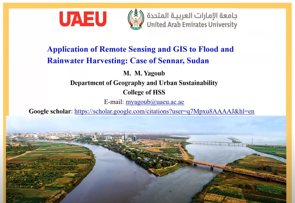
Application of Remote Sensing and GIS to Flood and Rainwater Harvesting
DR. MOHAMED YAGOUB
DEPARTMENT OF GEOGRAPHY AND URBAN SUSTAINABILITY, UAEU
Prof. Yagoub led Graduate Studies at the Department (20016-2020), chaired the Department between 2005 and 2007, and directed the Master Program of Remote Sensing and GIS at the UAE University between 2002 and 2005. His scholarship is indexed in Google Scholar, Scopus, Web of Science, and Research Gate. Dr. Yagoub teaches various courses related to Geoinformatics such Remote Sensing, Geographic Information System (GIS), and Global Navigation Satellite Systems (GNSS). Dr. Yagoub is a referee to many organizations/journals. He participated in organization of national and international conferences and co-chaired the 5th International Conference on Earth Observation for Global Changes (EOGC), 2015. He received Abu Dhabi -Spatial Data Infrastructure (AD-SDI) Distinguished Award for contribution to GIS/Remote Sensing academic programs (2018). He also received the Teaching Faculty Recognition Award on August 28, 2007 bestowed by H.H. Sheik Nahayan Mabarak Al Nahayan, former Minister of Higher Education and Scientific Research.