
Contribution of GIS and remote sensing technologies to an integrated coastal and marine environmental management framework
June 1, 2021 @ 10:00 am - 11:00 am +04
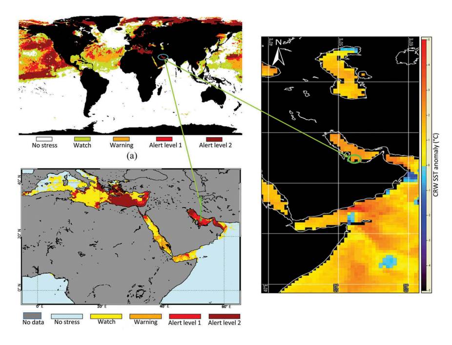
The coasts and islands that flank the United Arab Emirates (UAE), host an important number of benthic habitats; seagrass beds and coral reefs that should be the focus of conservation actions. Well-designed conservation and management plans require efficient monitoring systems that include mapping the extent and location of the major habitats and also understanding their status and trends over time. The coastal waters of the UAE are optically complex and heterogeneous, thus providing a challenging environment for mapping and monitoring seagrass beds and coral reefs. This is due to the similarity in reflectance characteristics of benthic features such as seagrass, corals and macroalgae. The mapping limitations are mainly faced by broadband multispectral sensors usually advantageous for their affordability. These challenges are taken on by providing more accurate knowledge on the UAE benthic habitats’ spatial distribution and more insights into their temporal variations. Advances in GIS, remote sensing instrumentation, data availability, and processing methods are presented and discussed. Additional tools to better evaluate and monitor the conditions of the UAE’s marine environment are presented. An integrated framework for future investigations that are at the forefront of contemporary marine environment science and management issues is suggested.

