

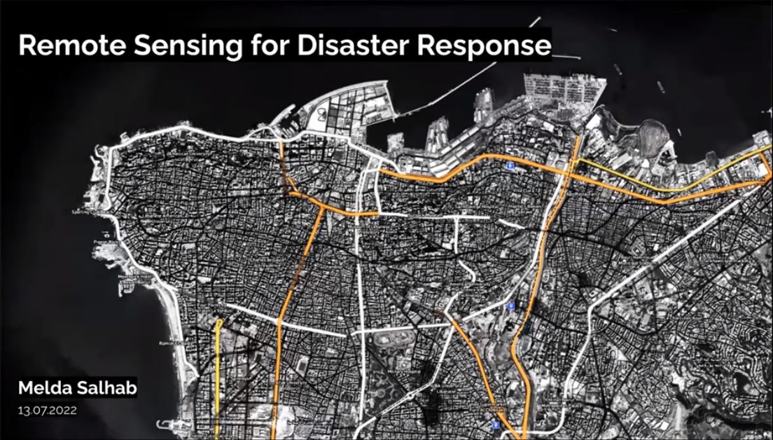
Remote sensing for disaster response
MS. MELDA SALHAB
CO-FOUNDER OF OPEN MAP, LEBANON
Melda is the co-founder of Open Map Lebanon and a doctoral researcher at the Centre for Advanced Spatial Analysis, UCL, London, UK. Her doctoral research is focused on extracting economic insights from remote sensing datasets, at the country and sub-country scale, but with global coverage. Through Open Map Lebanon, she supported disaster recovery post the Beirut 2020 explosion, by leveraging remote sensing and crowdsourced data. Previously, Melda was a consultant at the World Bank where she assessed global population exposed to multiple types of flood risk using satellite data. Previously, she was a management consultant at Monitor Deloitte Middle East. Melda has a BA in Economics, an MSc in Urban Economic Development, and an MRes in Spatial Data Science and Visualization.