SAR Interferometry for Monitoring of Land Surface Deformations
August 10, 2022 @ 10:00 am - 11:00 am +04
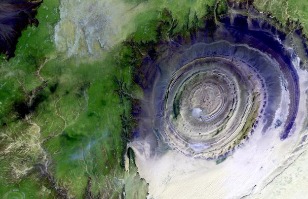
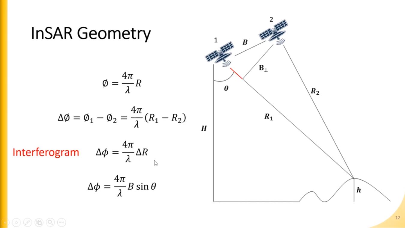
Remote sensing datasets and techniques have proved their capability to monitor the Earth’s surface by providing invaluable information about natural phenomena and anthropogenic activities. Radar remote sensing has a privilege over optical remote sensing by it is the independency of illumination source and weather. SAR Interferometry techniques are the most valuable tools for land surface deformations. The development of these tools has increased along with enormous SAR satellite missions launched in the last two decades, such as Sentinel-1, TerraSAR-X, ALOS-1/-2, Radarsat-1/2, etc. SAR Interferometry techniques measure the land surface movement in millimetric resolution. These techniques have been developed in order to monitor land surface subsidence, landslides, earthquakes, moving objects like cars and ships, and sea ice drift and glacier flow.

DR. MUHAGIR ELKAMALI
DEPARTMENT OF GEOGRAPHY & URBAN SUSTAINABILITY, UAEU
Dr. Muhagir Elkamali received his Bachelor and Master degrees from the University of Khartoum in 2012 and 2016. He earned his Ph.D. degree from the United Araba Emirates Univesity in 2022. His research concentrated on the Earth surface monitoring such as urban expansion, LULC changes, geothermal exploration, and land surface subsidence. He published his research in international journals such as the Science of The Total Environment (STOTEN) as well as he presented his work at international conferences including the international conference on Water Resources Management and Sustainability and EAGE Middle East Geomechanics Workshop.
No Results Found
Related Events