

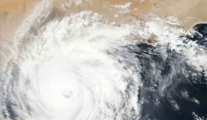
The Contribution of Satellite EO to Better Understanding Hazards and Disasters
Satellite Earth Observation (EO) can be used to detect, identify and measure parameters relevant to disaster risk management. This can help in different phases including disaster response and recovery and in other phases such as risk prevention and mitigation. Modern EO missions providing high resolution and wide area mapping with systematic and global revisit, new information technologies have been applied to increase access to EO data and information. Regarding the immediate disaster response phase the International Charter Space & Major Disasters is providing rapid access at no cost to imagery from 240+ satellites and is reserved to a pre-defined list of users, the Authorized Users. Regarding risk assessment and prevention different initiatives have taken place to provide geoscience users and risk management experts with advanced systems and tools able to retrieve geoinformation concerning hazard and exposure including historical and up-to-date data from dedicated EO missions. The proposed lecture will explain and illustrate how these data and tools allow to better understand hazards and disasters.

Eng. Philippe Bally
Earth Observation Science & Application Engineer at European Space Agency
Philippe Bally is a remote sensing expert working with the European Space Agency (ESA) in the Climate Action, Sustainability and Science Department of the Earth Observation Directorate. Graduated from an aerospace engineering Grande Ecole, Philippe worked with the French Space Agency (CNES) and joined Spot Image (France) in 1996 working on Earth Observation projects in Latin America and Asia in the fields of cartography and disaster risk management. He joined the ESRIN centre of ESA in 2000 and participates to the satellite Earth Observation (EO) programmes with focus on disaster risk management, humanitarian aid and international development. Philippe implemented large scale projects on advanced remote sensing such as the Geohazard Exploitation Platform for geoscience and a rapid mapping platform for disaster response using satellite imagery. He collaborates with the United Nations and Multilateral Development Banks. In 2022, he was appointed Board member of the International Charter ‘Space and Major Disasters’, an international collaboration for EO based disaster response.