

Use Cases of GIS and Remote Sensing Projects: from Concepts to Applications
April 6, 2021 @ 10:00 am - 11:00 am +04
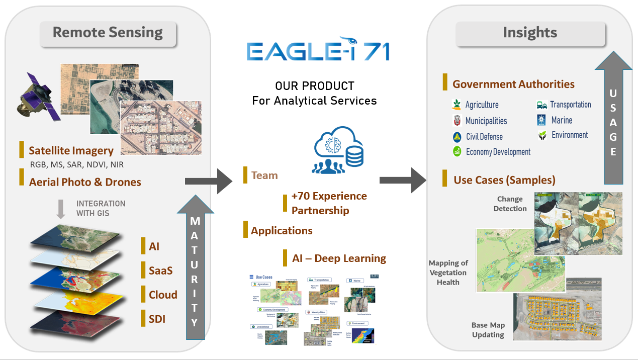
GIS (Geographic Information Systems) and remote sensing technology use various applications, from conceptualization to practical implementation. These powerful tools have revolutionized the way we interact with spatial data. Starting with concepts, GIS aids in spatial data collection, analysis, and visualization, facilitating decision-making processes in fields as diverse as urban planning, natural resource management, and disaster response. Remote sensing complements GIS by providing real-time and historical Earth observation data, enabling applications like environmental monitoring, crop yield prediction, and disaster risk assessment. Together, GIS and remote sensing create a dynamic synergy, transforming abstract ideas into tangible solutions that address complex challenges in our ever-evolving world.