his webinar will present a decade of pioneering research from Salehi-Geolab, culminating in over 70 journal publications and nearly 100 presentations at esteemed international conferences. The focus of the webinar is to explore the integration of machine
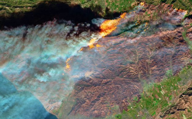
There has been more than 20 years of history in international collaboration, applying satellite imagery to disaster management. Sentinel Asia is a community consisting of satellite data providers, data analyzers and disaster management
This session explores the foundational role of geospatial databases in the architecture of modern Enterprise GIS systems. It highlights how spatial data storage, management, and integration drive efficiency, scalability