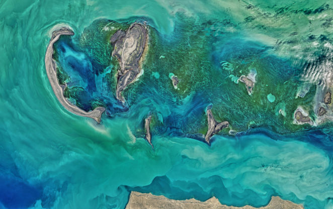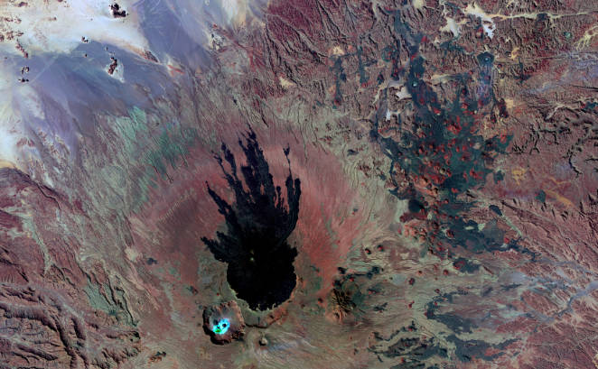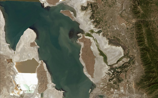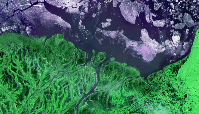
This webinar will reveal the significance of applications for advances in remote sensing and artificial intelligence in marine and coastal studies. The webinar will demonstrate programming integration with the RS and AI disciplines
|
M
Mon
|
T
Tue
|
W
Wed
|
T
Thu
|
F
Fri
|
S
Sat
|
S
Sun
|
|---|---|---|---|---|---|---|
|
0 events,
|
0 events,
|
1 event,
-

This webinar will reveal the significance of applications for advances in remote sensing and artificial intelligence in marine and coastal studies. The webinar will demonstrate programming integration with the RS and AI disciplines |
0 events,
|
0 events,
|
0 events,
|
0 events,
|
|
0 events,
|
0 events,
|
0 events,
|
0 events,
|
0 events,
|
0 events,
|
0 events,
|
|
0 events,
|
0 events,
|
1 event,
-

This webinar will reveal the significance of applications for advances in remote sensing and artificial intelligence in marine and coastal studies. The webinar will demonstrate programming integration with the RS and AI disciplines |
0 events,
|
0 events,
|
0 events,
|
0 events,
|
|
0 events,
|
0 events,
|
0 events,
|
0 events,
|
0 events,
|
0 events,
|
0 events,
|
|
0 events,
|
0 events,
|
1 event,
-

This talk covers the integration of recent GenAI technologies (Large Language Models) for earth observation and climate data. We will cover models developed by MBZUAI |
1 event,
-

Unlock the full potential of GIS and remote sensing analytics in this immersive workshop designed to equip you with practical, hands-on expertise. Through step-by-step guidance |
0 events,
|
0 events,
|
0 events,
|