

Advanced Oil Spill Trajectory Modelling for Environmental Protection
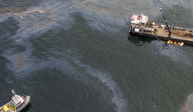
Current oil spill emergency response protocols employ standardized, universal strategies that fail to account for critical environmental variations, particularly water temperature effects on oil weathering behaviour. This research addresses this operational gap through comparative analysis of two contrasting marine environments using integrated satellite remote sensing and GNOME (General NOAA Operational Modelling Environment) trajectory modelling.
The study examines the 1989 Exxon Valdez spill in Alaska’s cold waters (8°C, 257,000 barrels) and the 2017 Al-Khafji spill in the Arabian Gulf’s warm waters (40°C, 35,000 barrels). Satellite data from Landsat 5 TM and Sentinel-2 achieved 84-86% detection accuracy, validated through NOAA aerial surveys and multi-stage verification protocols.
Key findings reveal counterintuitive results: despite 32°C higher temperatures, the Arabian Gulf exhibited 24% lower evaporation (26.3%) compared to Alaska (34.8%) due to rapid emulsification processes that trapped volatile components. Alaska showed 7% shoreline beaching versus 0.5% in the Gulf, with dramatically different surface persistence patterns (57.9% vs 72.8%).

Mr. Osman Hamed
Faculty of Engineering and Sciences at University of Wolverhampton
Osman Hamed is a final-year PhD candidate in Environmental and Analytical Sciences at the University of Wolverhampton, UK, supervised by Professor Craig Williams, Dr. Catherine Duke, and Professor Abdallah Shanbleh. His research focuses on integrating satellite remote sensing (Landsat, Sentinel-2) with NOAA’s GNOME trajectory model for advanced oil spill monitoring and prediction. Osman’s doctoral work provides a comparative analysis of oil spill behaviour across contrasting marine environments—the 1989 Exxon Valdez spill in Alaska’s cold waters versus the 2017 Al-Khafji spill in the Arabian Gulf’s warm waters. His research demonstrates how environmental parameters, particularly water temperature, critically influence oil weathering processes and emergency response effectiveness.