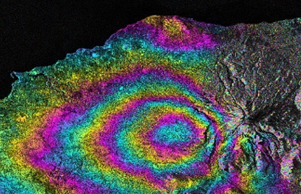
Drones: Innovating Air Pollution and Climate Research

Virtual

Drones are transforming air pollution and climate research by providing real-time, high-resolution data from inaccessible areas and providing vertical information within the atmospheric boundary layer.

The Role of Geospatial Databases in Enterprise GIS Systems

Virtual

This session explores the foundational role of geospatial databases in the architecture of modern Enterprise GIS systems. It highlights how spatial data storage, management, and integration drive efficiency, scalability

Scroll to Top